Collins Maps
Collins Maps - Wild Atlantic Way Pocket Map The Perfect Way To Explore Irelands West Coast
Collins Maps - Wild Atlantic Way Pocket Map The Perfect Way To Explore Irelands West Coast
Books
Regular price
$9.94 USD
Regular price
Sale price
$9.94 USD
Unit price
per
Shipping calculated at checkout.
Couldn't load pickup availability
Binding: Visual And Mapping
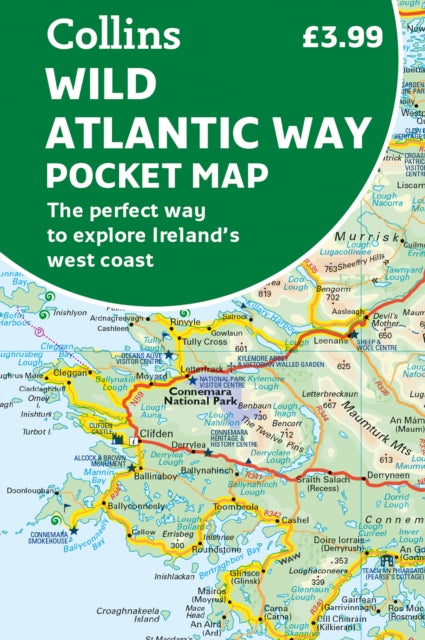
Description: Explore new places with handy pocket maps from Collins. Handy full - colour map of Ireland's Wild Atlantic Way with a high level of detail. Clear mapping of the full 2500 km (over 1500 miles) route showing the road network and places of interest. Clear detailed Collins road mapping is presented in a handy format ideal for the pocket or handbag. It is excellent value and very detailed for its size covering the whole of the Wild Atlantic Way. Ideal for tourists locals hikers and adventurers. Places of interest marked including famous film locations. This map includes: Clear mapping at a scale of 8.7 miles to 1 inch National Tourist Routes showing best routes through the most scenic areas Places of interest include film locations such as Star Wars Tourist and signature locations clearly marked Suggested itineraries Detailed place names index Ideal companion to a sat - nav it enables route planning and route sense - checking
Title: Wild Atlantic Way Pocket Map The Perfect Way To Explore Irelands West Coast
Author(s): Collins Maps
Publisher: Harpercollins Publishers
Barcode: 9780008580001
Pages: Index
Publication Date: 2/3/2023
Category: Travel Maps